


For the first time ever, Historic England has made the results of over 30 years of aerial photograph mapping projects freely available online. The public can use the new research tool to explore heritage from ancient settlements to secret Cold War military installations, or to see the complex archaeological landscapes of Hadrian’s Wall, Stonehenge, and industrial landscapes.
The Aerial Archaeology Mapping Explorer lets you explore the layers of archaeology in and around your local place. You can browse the map and zoom in to the location you’re interested in or search by postcode, address or place name. Follow this link to explore the website: https://historicengland.org.uk/research/results/aerial-archaeology-mapping-explorer/
The map brings together the results of numerous projects undertaken by specialists at Historic England and its predecessor organisations since the late 1980s, as well as many partner organisations. Hundreds of thousands of aerial photographs, ranging in date from the 1920s to the present, have been studied. More recently, innovative technologies such as lidar – airborne laser scanning – and web-based sources, such as Google Earth, have been added to the sources used. Every site has a simple description with links to the full Historic Environment records held online. For most of the areas there is also a free report detailing the highlights and new discoveries encountered in each project.
The Aerial Archaeology Mapping Explorer, alongside complementary resources such as Historic Environment Records available via Heritage Gateway, offers a springboard to further investigation, whether for research purposes or simply curiosity about the area where you live. It should be especially useful for researching industrial archaeology and heritage sites.
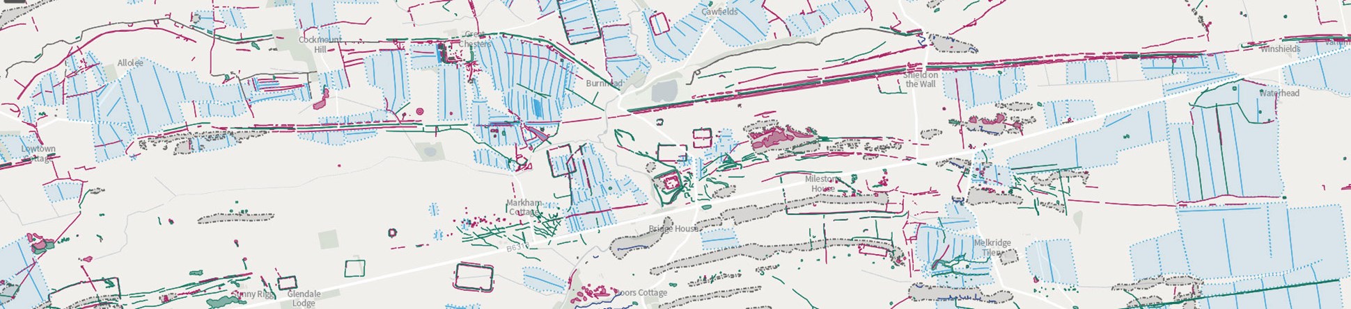
An example of how the aerial photographs and LIDAR data are interpreted on the new Historic England mapping explorer.
